Understanding what lies beneath the surface is essential to assessing any major underground infrastructure project. For the placement studies for the proposed Future Circular Collider (FCC), this means developing the most accurate possible picture of the geological formations along the proposed tunnel route, including beneath Lake Geneva.
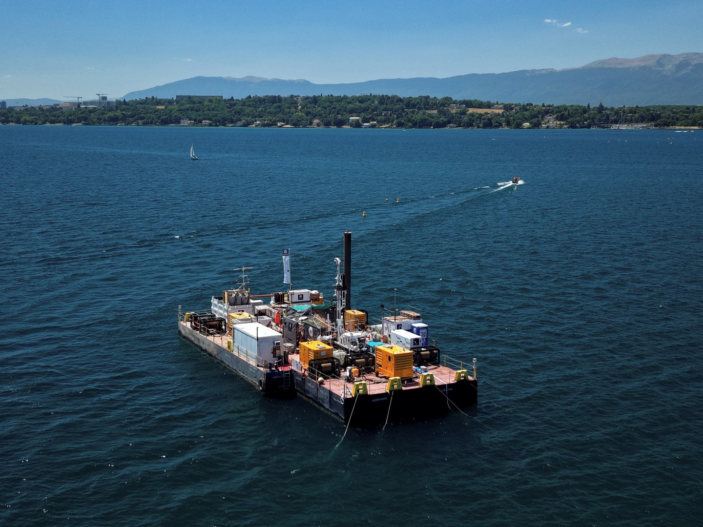
Investigations on the lake began in 2025 with seismic surveys and an initial borehole. They resumed last month with further drilling from a dedicated platform. The aim of the work is to identify the different geological layers, improve understanding of subsurface conditions and provide additional information for assessing the possible depth and configuration of the FCC’s underground infrastructure.
Understanding the geology beneath a lake requires specialised methods. Seismic measurements provide a broad picture of subsurface structures, while drilling gives direct access to the geological layers beneath the lakebed.
The seismic investigations were conducted from a vessel following predefined survey lines across the lake. Controlled signals were transmitted through the water and into the sediments and rock below. By analysing how these signals travelled through and were reflected by different geological layers, specialists were able to map variations in the subsurface structure over a wider area. Drilling will complement these measurements by providing detailed information on the composition and characteristics of the formations at specific locations.
The investigations are limited in scale and duration, use carefully selected locations and follow procedures designed to minimise disturbance to the lake environment and other activities on the water. They are carried out with the authorisation of the relevant local authorities and in accordance with the applicable environmental, navigation and safety requirements.
The work on Lake Geneva forms part of the wider geological and geotechnical investigation programme launched by CERN in autumn 2024 to support the FCC studies, which also include investigations at the proposed surface sites. The data collected will help specialists to refine the geological model and assess the most appropriate location and depth for the possible underground infrastructure, currently envisaged to be approximately 150 to 400 metres below ground. The campaign will reduce uncertainty and provide a stronger technical basis for the next stages of the studies.
The campaign will continue until October 2026 and the geological information collected will be made publicly available once it has been processed and validated. Researchers will be able to use the results for further scientific studies, while municipalities, institutions and other interested organisations will be able to consult the data for their own work.
Alongside ongoing technical studies, formal public participation processes are under way in both Host States. In Switzerland, a consultation process was launched on 18 May 2026 and will continue until 2 October 2026, with workshops, site visits and other opportunities for residents to learn about the FCC proposal and contribute to the discussion. In France, a public debate process organised under the auspices of the Commission nationale du débat public (CNDP) is running from 2 June to 1 October 2026, and includes public meetings, workshops, round tables and online events. Together, these processes are intended to support transparent dialogue on the project’s scientific, environmental and territorial implications ahead of a possible approval decision, which is expected in 2028 at the earliest.